Manchester University
Introduction
The photograph on this page of Manchester University by Thomas Nugent as part of the Geograph project.
The Geograph project started in 2005 with the aim of publishing, organising and preserving representative images for every square kilometre of Great Britain, Ireland and the Isle of Man.

There are currently over 7.5m images from over 14,400 individuals and you can help contribute to the project by visiting https://www.geograph.org.uk
Manchester University
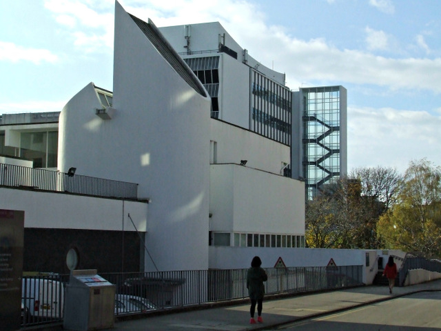
Image: © Thomas Nugent Taken: 10 Nov 2014
The Barnes Wallis Building is in the foreground, the Renold Building is beyond. Viewed from Altrincham Street. See also Image
Images are licensed for reuse under creativecommons.org/licenses/by-sa/2.0
Image Location
Latitude
53.475082
Longitude
-2.232736