Fields below Brwyn Gwylan
Introduction
The photograph on this page of Fields below Brwyn Gwylan by Jonathan Wilkins as part of the Geograph project.
The Geograph project started in 2005 with the aim of publishing, organising and preserving representative images for every square kilometre of Great Britain, Ireland and the Isle of Man.

There are currently over 7.5m images from over 14,400 individuals and you can help contribute to the project by visiting https://www.geograph.org.uk
Fields below Brwyn Gwylan
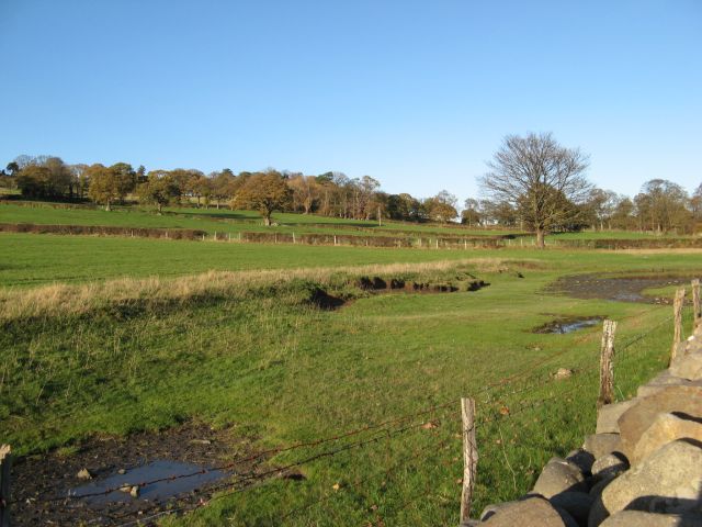
Image: © Jonathan Wilkins Taken: 14 Nov 2014
Fine-looking pasture slopes down to a substantial wall at the edge of the estuary. A significant bank marks a much earlier shoreline some distance above the present maximum tidal and flood-level.
Images are licensed for reuse under creativecommons.org/licenses/by-sa/2.0
Image Location
Latitude
53.264683
Longitude
-3.818155