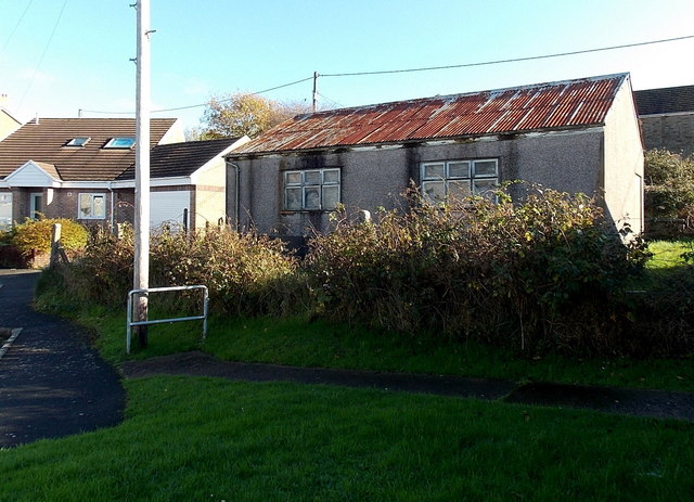
Former chapel or church in Pencoed
Introduction
The photograph on this page of Former chapel or church in Pencoed by Jaggery as part of the Geograph project.
The Geograph project started in 2005 with the aim of publishing, organising and preserving representative images for every square kilometre of Great Britain, Ireland and the Isle of Man.
There are currently over 7.5m images from over 14,400 individuals and you can help contribute to the project by visiting https://www.geograph.org.uk

Image: © Jaggery Taken: 14 Nov 2014
Located between Caeau Duon (on this side) and Wimborne Road, this rusty-roofed building looks long derelict in November 2014. It is shown as a place of worship on some maps. I could see no clue here as to its former name or denomination. http://www.geograph.org.uk/photo/4245437 to another view.

