Afon Conwy shore 1
Introduction
The photograph on this page of Afon Conwy shore 1 by Jonathan Wilkins as part of the Geograph project.
The Geograph project started in 2005 with the aim of publishing, organising and preserving representative images for every square kilometre of Great Britain, Ireland and the Isle of Man.

There are currently over 7.5m images from over 14,400 individuals and you can help contribute to the project by visiting https://www.geograph.org.uk
Afon Conwy shore 1
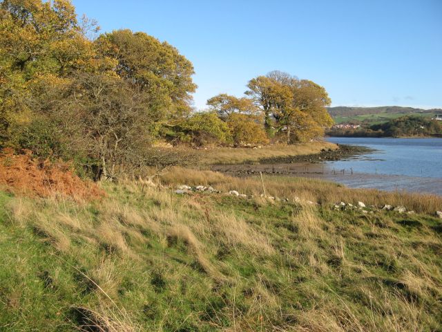
Image: © Jonathan Wilkins Taken: 14 Nov 2014
I am grateful to the landowner for permission to capture this image from the largely inaccessible western shore of the lower Conwy estuary. Pasture slopes down from Fachleidiog to a line of mature trees at the historical boundary, now rather tumbled about. Despite the late date, many trees are still holding onto their leaves.
Images are licensed for reuse under creativecommons.org/licenses/by-sa/2.0
Image Location
Latitude
53.2605
Longitude
-3.821276