Bumpy field
Introduction
The photograph on this page of Bumpy field by John Beal as part of the Geograph project.
The Geograph project started in 2005 with the aim of publishing, organising and preserving representative images for every square kilometre of Great Britain, Ireland and the Isle of Man.

There are currently over 7.5m images from over 14,400 individuals and you can help contribute to the project by visiting https://www.geograph.org.uk
Bumpy field
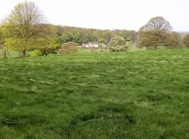
Image: © John Beal Taken: 28 Apr 2007
The bridlepath descends towards Beesby via this very lumpy field which may just be natural, or even have some kind of historical significance. Beesby farm house is in the distance.
Images are licensed for reuse under creativecommons.org/licenses/by-sa/2.0
Image Location


Leaflet Map data © OpenStreetMap
Latitude
53.447364
Longitude
-0.095215