Pasture field south-east of Carr Bog Farm
Introduction
The photograph on this page of Pasture field south-east of Carr Bog Farm by Christine Johnstone as part of the Geograph project.
The Geograph project started in 2005 with the aim of publishing, organising and preserving representative images for every square kilometre of Great Britain, Ireland and the Isle of Man.

There are currently over 7.5m images from over 14,400 individuals and you can help contribute to the project by visiting https://www.geograph.org.uk
Pasture field south-east of Carr Bog Farm
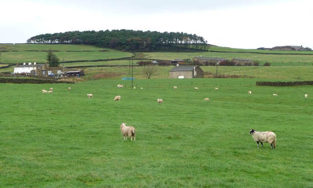
Image: © Christine Johnstone Taken: 12 Nov 2014
Carr Bog farm is the whitewashed one. Middlebrough House in the middle distance and Haygill Farm on the horizon.
Images are licensed for reuse under creativecommons.org/licenses/by-sa/2.0
Image Location


Leaflet Map data © OpenStreetMap
Latitude
53.943847
Longitude
-1.947404