Lurganboy Road, Creevy Lower
Introduction
The photograph on this page of Lurganboy Road, Creevy Lower by Kenneth Allen as part of the Geograph project.
The Geograph project started in 2005 with the aim of publishing, organising and preserving representative images for every square kilometre of Great Britain, Ireland and the Isle of Man.

There are currently over 7.5m images from over 14,400 individuals and you can help contribute to the project by visiting https://www.geograph.org.uk
Lurganboy Road, Creevy Lower
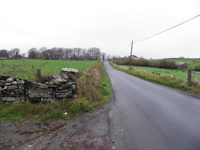
Image: © Kenneth Allen Taken: 11 Nov 2014
By co-incidence, I stopped at this same location in April 2007 and noted a large stone embedded in the wall with an inscription carved on it Image The wall is more weathered now, lichen is forming and I didn't notice the feature this time.
Images are licensed for reuse under creativecommons.org/licenses/by-sa/2.0
Image Location
Latitude
54.72337
Longitude
-7.585762