Bottom of Shelt Hill, Woodborough
Introduction
The photograph on this page of Bottom of Shelt Hill, Woodborough by Richard Vince as part of the Geograph project.
The Geograph project started in 2005 with the aim of publishing, organising and preserving representative images for every square kilometre of Great Britain, Ireland and the Isle of Man.

There are currently over 7.5m images from over 14,400 individuals and you can help contribute to the project by visiting https://www.geograph.org.uk
Bottom of Shelt Hill, Woodborough
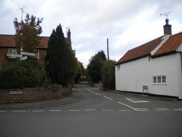
Image: © Richard Vince Taken: 25 Oct 2014
Its junction with Main Street (left) and Lowdham Lane (which Main Street becomes just out of frame to the right), complete with finger post. I do not envy the bus drivers who have to make the left turn into Shelt Hill from Main Street without colliding with oncoming cars.
Images are licensed for reuse under creativecommons.org/licenses/by-sa/2.0
Image Location
Latitude
53.023534
Longitude
-1.052214