The Old Crossroads at Chapel Cross
Introduction
The photograph on this page of The Old Crossroads at Chapel Cross by Mike Searle as part of the Geograph project.
The Geograph project started in 2005 with the aim of publishing, organising and preserving representative images for every square kilometre of Great Britain, Ireland and the Isle of Man.

There are currently over 7.5m images from over 14,400 individuals and you can help contribute to the project by visiting https://www.geograph.org.uk
The Old Crossroads at Chapel Cross
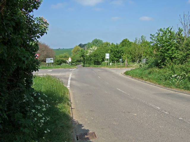
Image: © Mike Searle Taken: 5 May 2007
So named because of the former chapel that still stands nearby. Hard to imagine that the A303, the main trunk route to the West Country, used to pass through here.
Images are licensed for reuse under creativecommons.org/licenses/by-sa/2.0
Image Location


Leaflet Map data © OpenStreetMap
Latitude
51.035049
Longitude
-2.527342