Greave House Fields, Luddendenfoot
Introduction
The photograph on this page of Greave House Fields, Luddendenfoot by Humphrey Bolton as part of the Geograph project.
The Geograph project started in 2005 with the aim of publishing, organising and preserving representative images for every square kilometre of Great Britain, Ireland and the Isle of Man.

There are currently over 7.5m images from over 14,400 individuals and you can help contribute to the project by visiting https://www.geograph.org.uk
Greave House Fields, Luddendenfoot
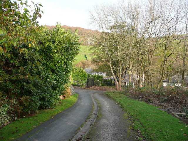
Image: © Humphrey Bolton Taken: 10 Nov 2014
This is Sowerby Bridge Bridleway 27 below Image There is a short cul-de-sac to the left; the bridleway bends to the right and meets Luddenden Lane.
Images are licensed for reuse under creativecommons.org/licenses/by-sa/2.0
Image Location
Latitude
53.727145
Longitude
-1.939338