Bus road, Bourtreehill
Introduction
The photograph on this page of Bus road, Bourtreehill by Richard Webb as part of the Geograph project.
The Geograph project started in 2005 with the aim of publishing, organising and preserving representative images for every square kilometre of Great Britain, Ireland and the Isle of Man.

There are currently over 7.5m images from over 14,400 individuals and you can help contribute to the project by visiting https://www.geograph.org.uk
Bus road, Bourtreehill
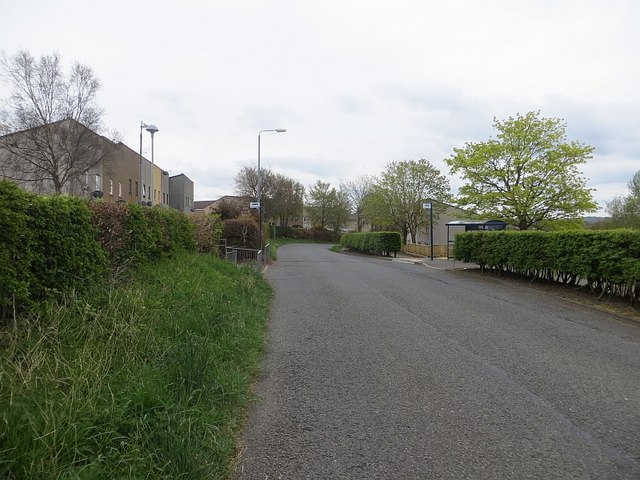
Image: © Richard Webb Taken: 25 Apr 2014
Most towns have bus lanes, Irvine has bus roads. This was once the B730 and when Irvine expanded, it was closed and replaced by a new distributor road. This road is now open to buses only.
Images are licensed for reuse under creativecommons.org/licenses/by-sa/2.0
Image Location
Latitude
55.61596
Longitude
-4.622762