Bluebell Rise
Introduction
The photograph on this page of Bluebell Rise by Burgess Von Thunen as part of the Geograph project.
The Geograph project started in 2005 with the aim of publishing, organising and preserving representative images for every square kilometre of Great Britain, Ireland and the Isle of Man.

There are currently over 7.5m images from over 14,400 individuals and you can help contribute to the project by visiting https://www.geograph.org.uk
Bluebell Rise
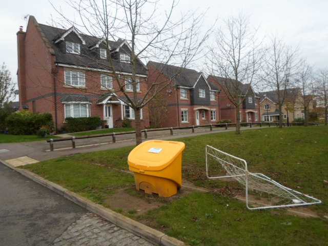
Image: © Burgess Von Thunen Taken: 11 Nov 2014
A salt box, a dodgy football pitch and 2000s houses in Grange Park.
Images are licensed for reuse under creativecommons.org/licenses/by-sa/2.0
Image Location
Latitude
52.182253
Longitude
-0.87918