Railway trackbed, Irvine
Introduction
The photograph on this page of Railway trackbed, Irvine by Richard Webb as part of the Geograph project.
The Geograph project started in 2005 with the aim of publishing, organising and preserving representative images for every square kilometre of Great Britain, Ireland and the Isle of Man.

There are currently over 7.5m images from over 14,400 individuals and you can help contribute to the project by visiting https://www.geograph.org.uk
Railway trackbed, Irvine
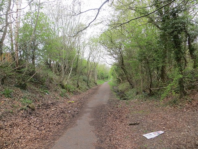
Image: © Richard Webb Taken: 25 Apr 2014
This was a mineral line serving Perceton Colliery in the 19th century. Maps from c. 1900 show it as disused. It is now a cycle and footpath.
Images are licensed for reuse under creativecommons.org/licenses/by-sa/2.0
Image Location
Latitude
55.63379
Longitude
-4.633805