From Rogerhill to Bent
Introduction
The photograph on this page of From Rogerhill to Bent by deemikay as part of the Geograph project.
The Geograph project started in 2005 with the aim of publishing, organising and preserving representative images for every square kilometre of Great Britain, Ireland and the Isle of Man.

There are currently over 7.5m images from over 14,400 individuals and you can help contribute to the project by visiting https://www.geograph.org.uk
From Rogerhill to Bent
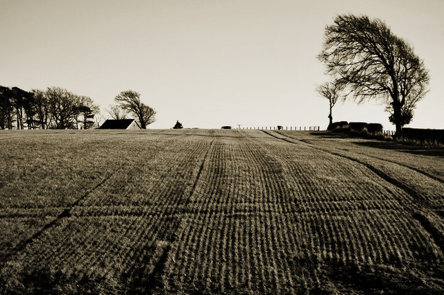
Image: © deemikay Taken: 3 Feb 2007
From the old railway line next to Rogerhill Farm, looking out towards a house by Bent School.
Images are licensed for reuse under creativecommons.org/licenses/by-sa/2.0
Image Location
Latitude
55.662582
Longitude
-3.932012