Road to Shaugh Prior
Introduction
The photograph on this page of Road to Shaugh Prior by Derek Harper as part of the Geograph project.
The Geograph project started in 2005 with the aim of publishing, organising and preserving representative images for every square kilometre of Great Britain, Ireland and the Isle of Man.

There are currently over 7.5m images from over 14,400 individuals and you can help contribute to the project by visiting https://www.geograph.org.uk
Road to Shaugh Prior
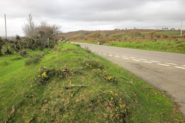
Image: © Derek Harper Taken: 1 Nov 2014
From the same spot as Image], with the lane briefly crossing a corner of the National Park, with access land on the right and Bowling Green on the left.
Images are licensed for reuse under creativecommons.org/licenses/by-sa/2.0
Image Location


Leaflet Map data © OpenStreetMap
Latitude
50.444829
Longitude
-4.048737