Benchmark on St Mary's Church
Introduction
The photograph on this page of Benchmark on St Mary's Church by Shantavira as part of the Geograph project.
The Geograph project started in 2005 with the aim of publishing, organising and preserving representative images for every square kilometre of Great Britain, Ireland and the Isle of Man.

There are currently over 7.5m images from over 14,400 individuals and you can help contribute to the project by visiting https://www.geograph.org.uk
Benchmark on St Mary's Church
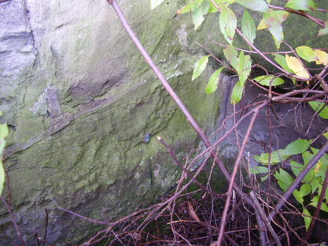
Image: © Shantavira Taken: 9 Nov 2014
This bench mark was established in 1844 during the First Primary Levelling of England & Wales, and was levelled with a height of 435.3500 feet [132.6947 metres] above mean sea level (Liverpool datum). It was included on the Manchester to Gloucester levelling line. The surveyor's description was "No. 284. Bolt in S. end of Bilston New Church ; 0.70 ft. above sill of door." (Public Abstract p.30). The 1887 map shows this mark on the south-east face, 2m from the south angle. It is not quite as close to the door as the description might imply, but can be found tucked into the internal angle of the wall, low down behind a shrub, looking rather the worse for wear.
Images are licensed for reuse under creativecommons.org/licenses/by-sa/2.0
Image Location
Latitude
52.563701
Longitude
-2.067964