SE end of Heol Ewenny, Pencoed
Introduction
The photograph on this page of SE end of Heol Ewenny, Pencoed by Jaggery as part of the Geograph project.
The Geograph project started in 2005 with the aim of publishing, organising and preserving representative images for every square kilometre of Great Britain, Ireland and the Isle of Man.

There are currently over 7.5m images from over 14,400 individuals and you can help contribute to the project by visiting https://www.geograph.org.uk
SE end of Heol Ewenny, Pencoed
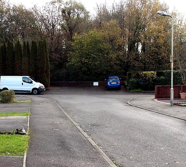
Image: © Jaggery Taken: 9 Nov 2014
The dark blue car in the background is parked at the edge of the Ewenny River. http://www.geograph.org.uk/photo/4239285
Images are licensed for reuse under creativecommons.org/licenses/by-sa/2.0
Image Location
Latitude
51.514714
Longitude
-3.500586