Heol Maes-yr-Haf electricity substation
Introduction
The photograph on this page of Heol Maes-yr-Haf electricity substation by Jaggery as part of the Geograph project.
The Geograph project started in 2005 with the aim of publishing, organising and preserving representative images for every square kilometre of Great Britain, Ireland and the Isle of Man.

There are currently over 7.5m images from over 14,400 individuals and you can help contribute to the project by visiting https://www.geograph.org.uk
Heol Maes-yr-Haf electricity substation
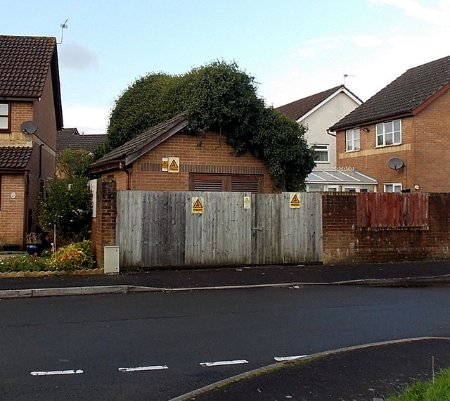
Image: © Jaggery Taken: 9 Nov 2014
Located in an area of modern houses between Coychurch Road and the Ewenny River. The identifier on the Western Power Distribution electricity substation is HEOL MAES-YR-HAF S/S 561245.
Images are licensed for reuse under creativecommons.org/licenses/by-sa/2.0
Image Location
Latitude
51.515781
Longitude
-3.501486