Behind the houses in Burnley
Introduction
The photograph on this page of Behind the houses in Burnley by Neil Theasby as part of the Geograph project.
The Geograph project started in 2005 with the aim of publishing, organising and preserving representative images for every square kilometre of Great Britain, Ireland and the Isle of Man.

There are currently over 7.5m images from over 14,400 individuals and you can help contribute to the project by visiting https://www.geograph.org.uk
Behind the houses in Burnley
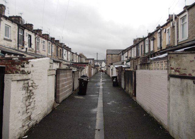
Image: © Neil Theasby Taken: 8 Nov 2014
The lane that runs behind the terraces of Hinton Street and Holmsley Street near Turf Moor football ground.
Images are licensed for reuse under creativecommons.org/licenses/by-sa/2.0
Image Location
Latitude
53.787069
Longitude
-2.229907