Flat grazing land near Kerry
Introduction
The photograph on this page of Flat grazing land near Kerry by Bill Boaden as part of the Geograph project.
The Geograph project started in 2005 with the aim of publishing, organising and preserving representative images for every square kilometre of Great Britain, Ireland and the Isle of Man.

There are currently over 7.5m images from over 14,400 individuals and you can help contribute to the project by visiting https://www.geograph.org.uk
Flat grazing land near Kerry
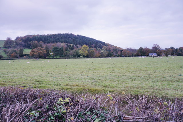
Image: © Bill Boaden Taken: 30 Oct 2014
Part of the valley bottom of the River Mule. Daylight was beginning to fade.
Images are licensed for reuse under creativecommons.org/licenses/by-sa/2.0
Image Location
Latitude
52.501826
Longitude
-3.267177