View south along Paulett Avenue towards Albertbridge Road
Introduction
The photograph on this page of View south along Paulett Avenue towards Albertbridge Road by Eric Jones as part of the Geograph project.
The Geograph project started in 2005 with the aim of publishing, organising and preserving representative images for every square kilometre of Great Britain, Ireland and the Isle of Man.

There are currently over 7.5m images from over 14,400 individuals and you can help contribute to the project by visiting https://www.geograph.org.uk
View south along Paulett Avenue towards Albertbridge Road
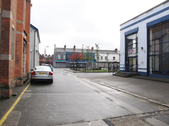
Image: © Eric Jones Taken: 3 Nov 2014
The offices of Business in the Community on the right is fronted by the Bridge Community Garden. On the left are the brick-built vestry of the now disused Ballymacarrett First Presbyterian Church and the local offices of the Ulster Unionist Party.
Images are licensed for reuse under creativecommons.org/licenses/by-sa/2.0
Image Location
Latitude
54.595588
Longitude
-5.902462