Road by Cwm-golog
Introduction
The photograph on this page of Road by Cwm-golog by Bill Boaden as part of the Geograph project.
The Geograph project started in 2005 with the aim of publishing, organising and preserving representative images for every square kilometre of Great Britain, Ireland and the Isle of Man.

There are currently over 7.5m images from over 14,400 individuals and you can help contribute to the project by visiting https://www.geograph.org.uk
Road by Cwm-golog
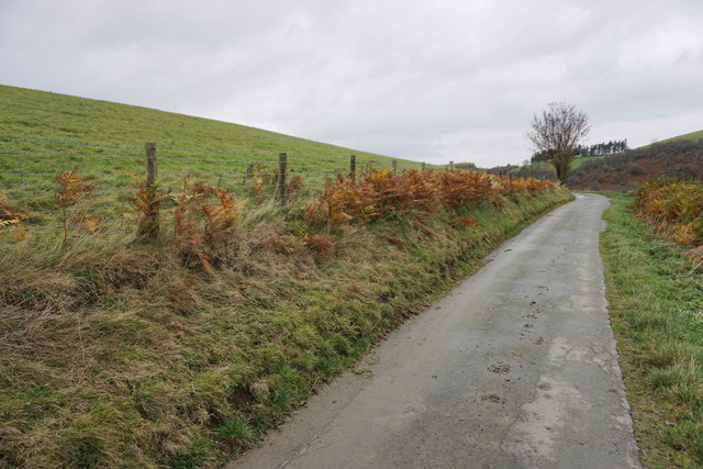
Image: © Bill Boaden Taken: 30 Oct 2014
The map indicates that there was a former settlement on the hillside to the left, but you wouldn't expect to see anything.
Images are licensed for reuse under creativecommons.org/licenses/by-sa/2.0
Image Location
Latitude
52.484391
Longitude
-3.215133