Lane to Dupath
Introduction
The photograph on this page of Lane to Dupath by Derek Harper as part of the Geograph project.
The Geograph project started in 2005 with the aim of publishing, organising and preserving representative images for every square kilometre of Great Britain, Ireland and the Isle of Man.

There are currently over 7.5m images from over 14,400 individuals and you can help contribute to the project by visiting https://www.geograph.org.uk
Lane to Dupath
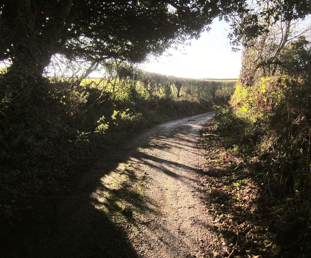
Image: © Derek Harper Taken: 5 Nov 2014
Contrejour as the lane rounds a bend between hedges. For a few metres here it is followed by the parish boundary between Callington (right) and St Dominick.
Images are licensed for reuse under creativecommons.org/licenses/by-sa/2.0
Image Location
Latitude
50.499046
Longitude
-4.290807