Field west of Cottage Farm (2)
Introduction
The photograph on this page of Field west of Cottage Farm (2) by Richard Vince as part of the Geograph project.
The Geograph project started in 2005 with the aim of publishing, organising and preserving representative images for every square kilometre of Great Britain, Ireland and the Isle of Man.

There are currently over 7.5m images from over 14,400 individuals and you can help contribute to the project by visiting https://www.geograph.org.uk
Field west of Cottage Farm (2)
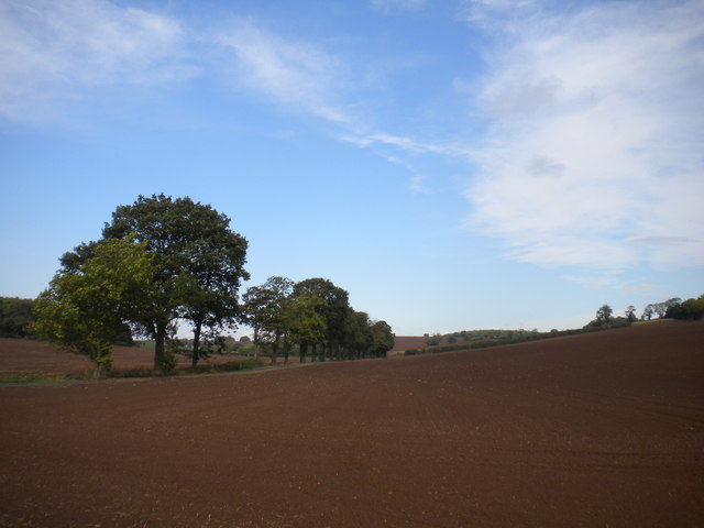
Image: © Richard Vince Taken: 9 Oct 2014
The trees on the left mark the route of a track (which also hosts a public footpath) and what appears to be a drain.
Images are licensed for reuse under creativecommons.org/licenses/by-sa/2.0
Image Location
Latitude
53.036684
Longitude
-1.032986