Track to Park Farm
Introduction
The photograph on this page of Track to Park Farm by Richard Vince as part of the Geograph project.
The Geograph project started in 2005 with the aim of publishing, organising and preserving representative images for every square kilometre of Great Britain, Ireland and the Isle of Man.

There are currently over 7.5m images from over 14,400 individuals and you can help contribute to the project by visiting https://www.geograph.org.uk
Track to Park Farm
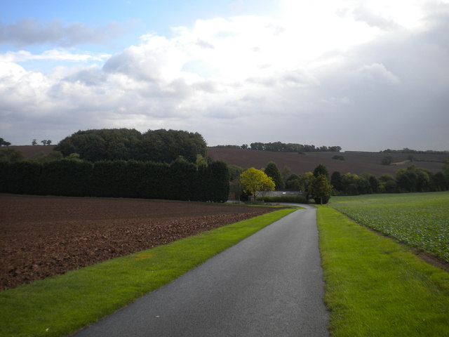
Image: © Richard Vince Taken: 9 Oct 2014
A commendably well surfaced track that hosts a public footpath. The public right of way continues through the middle of the farmyard, but as I neared the buildings a very intimidating siren sounded; however, there were no signs to indicate that the right of way no longer existed.
Images are licensed for reuse under creativecommons.org/licenses/by-sa/2.0
Image Location
Latitude
53.04846
Longitude
-1.04406