Keston Fishponds BR2
Introduction
The photograph on this page of Keston Fishponds BR2 by Philip Talmage as part of the Geograph project.
The Geograph project started in 2005 with the aim of publishing, organising and preserving representative images for every square kilometre of Great Britain, Ireland and the Isle of Man.

There are currently over 7.5m images from over 14,400 individuals and you can help contribute to the project by visiting https://www.geograph.org.uk
Keston Fishponds BR2
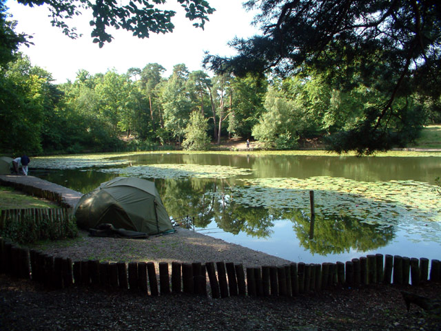
Image: © Philip Talmage Taken: 23 Aug 2005
There are three fishponds on Keston Common, adjacent to Fishponds Road. The ponds were constructed in the early nineteenth century to provide a water supply to Holwood House, and are now a popular recreational area. The photograph shows the middle and largest of the three ponds.
Images are licensed for reuse under creativecommons.org/licenses/by-sa/2.0
Image Location


Leaflet Map data © OpenStreetMap
Latitude
51.36195
Longitude
0.031043