Building site beside Haine Road (A256)
Introduction
The photograph on this page of Building site beside Haine Road (A256) by John Baker as part of the Geograph project.
The Geograph project started in 2005 with the aim of publishing, organising and preserving representative images for every square kilometre of Great Britain, Ireland and the Isle of Man.

There are currently over 7.5m images from over 14,400 individuals and you can help contribute to the project by visiting https://www.geograph.org.uk
Building site beside Haine Road (A256)
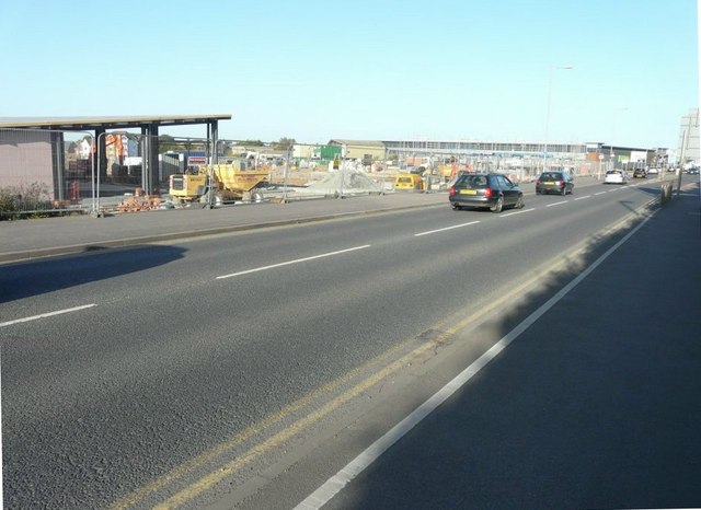
Image: © John Baker Taken: 27 Oct 2014
Planning permission has been granted by Thanet District Council under application number F/TH/12/0964 for a “mixed urban extension comprising residential use (Class C3), community facilities (Class D1), commercial and employment uses (class A1-A5, B1 and d2) and associated infrastructure including a new link road and associated alteration to existing junctions and new access arrangements without compliance with planning conditions 1, 2, 3, 5 and 37 to amend the location of the primary, medical/commercial area 13 and public open space, and amend the proposed phasing of development”. The location is described as “land north of Haine Road, Broadstairs and west of Nash Road, Margate”.
Images are licensed for reuse under creativecommons.org/licenses/by-sa/2.0
Image Location
Latitude
51.360742
Longitude
1.392028