The Cornerhouse
Introduction
The photograph on this page of The Cornerhouse by Neil Owen as part of the Geograph project.
The Geograph project started in 2005 with the aim of publishing, organising and preserving representative images for every square kilometre of Great Britain, Ireland and the Isle of Man.

There are currently over 7.5m images from over 14,400 individuals and you can help contribute to the project by visiting https://www.geograph.org.uk
The Cornerhouse
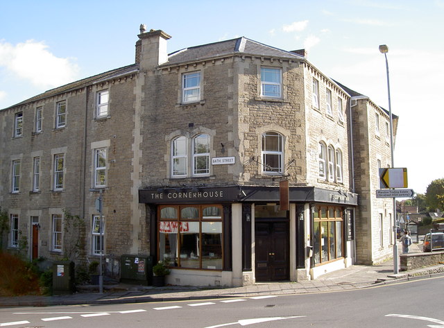
Image: © Neil Owen Taken: 7 Oct 2014
An old pub on a busy junction in Frome, the Cornerhouse is a new venture started in February 2011. Before that it was the Lamb Inn for many years. During the growing tensions surrounding the First World War it was used as a drill hall. See http://www.geograph.org.uk/article/WW1-Great-War-Centenary---Drill-Halls/9#somerset.
Images are licensed for reuse under creativecommons.org/licenses/by-sa/2.0
Image Location
Latitude
51.228763
Longitude
-2.32261