The former Pinxton Arm, the Cromford Canal
Introduction
The photograph on this page of The former Pinxton Arm, the Cromford Canal by Christine Johnstone as part of the Geograph project.
The Geograph project started in 2005 with the aim of publishing, organising and preserving representative images for every square kilometre of Great Britain, Ireland and the Isle of Man.

There are currently over 7.5m images from over 14,400 individuals and you can help contribute to the project by visiting https://www.geograph.org.uk
The former Pinxton Arm, the Cromford Canal
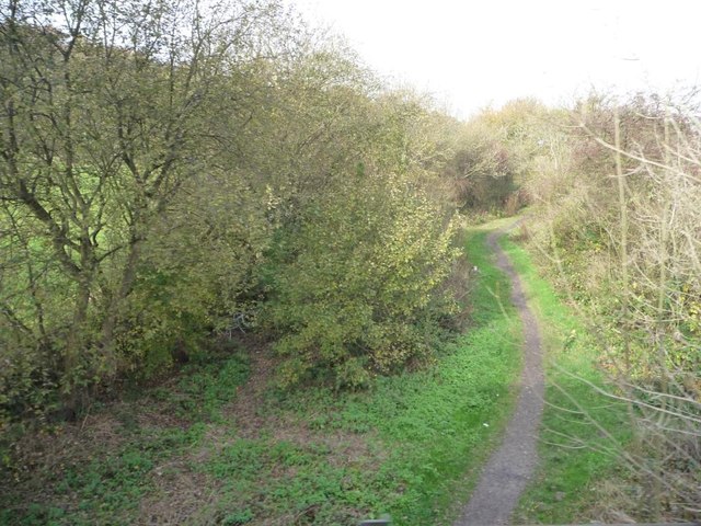
Image: © Christine Johnstone Taken: 31 Oct 2014
Looking north from the railway line at Ironville. This branch of the Cromford Canal runs 3 miles from the northerly end of the Codnor Reservoir to the wharf at Pinxton. It is now almost completely filled in, but the Friends of the Cromford Canal hope to restore it to navigation.
Images are licensed for reuse under creativecommons.org/licenses/by-sa/2.0
Image Location
Latitude
53.064722
Longitude
-1.349027