Path near the church
Introduction
The photograph on this page of Path near the church by Alan Murray-Rust as part of the Geograph project.
The Geograph project started in 2005 with the aim of publishing, organising and preserving representative images for every square kilometre of Great Britain, Ireland and the Isle of Man.

There are currently over 7.5m images from over 14,400 individuals and you can help contribute to the project by visiting https://www.geograph.org.uk
Path near the church
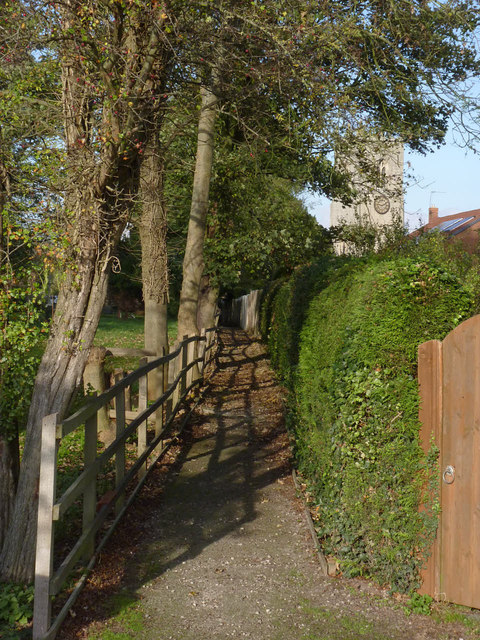
Image: © Alan Murray-Rust Taken: 4 Nov 2014
Old maps show this as crossing an open paddock; now there are houses to the right and on the left an extension of the church graveyard.
Images are licensed for reuse under creativecommons.org/licenses/by-sa/2.0
Image Location
Latitude
53.402979
Longitude
-0.830365