Metrolink Airport Line, Baguley
Introduction
The photograph on this page of Metrolink Airport Line, Baguley by David Dixon as part of the Geograph project.
The Geograph project started in 2005 with the aim of publishing, organising and preserving representative images for every square kilometre of Great Britain, Ireland and the Isle of Man.

There are currently over 7.5m images from over 14,400 individuals and you can help contribute to the project by visiting https://www.geograph.org.uk
Metrolink Airport Line, Baguley
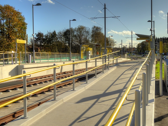
Image: © David Dixon Taken: 3 Nov 2014
The Baguley stop is on the eastern side of Southmoor Road, just south of the footpath from the western end of Glebelands Road and north of Floatshall Road. It has two facing platforms for inbound (towards Manchester) and outbound (towards Manchester Airport) trams. There are track-level pedestrian crossings at both ends of the station.
Images are licensed for reuse under creativecommons.org/licenses/by-sa/2.0
Image Location


Leaflet Map data © OpenStreetMap
Latitude
53.396839
Longitude
-2.292914