Church of St Mellanus, St Mellion
Introduction
The photograph on this page of Church of St Mellanus, St Mellion by Derek Harper as part of the Geograph project.
The Geograph project started in 2005 with the aim of publishing, organising and preserving representative images for every square kilometre of Great Britain, Ireland and the Isle of Man.

There are currently over 7.5m images from over 14,400 individuals and you can help contribute to the project by visiting https://www.geograph.org.uk
Church of St Mellanus, St Mellion
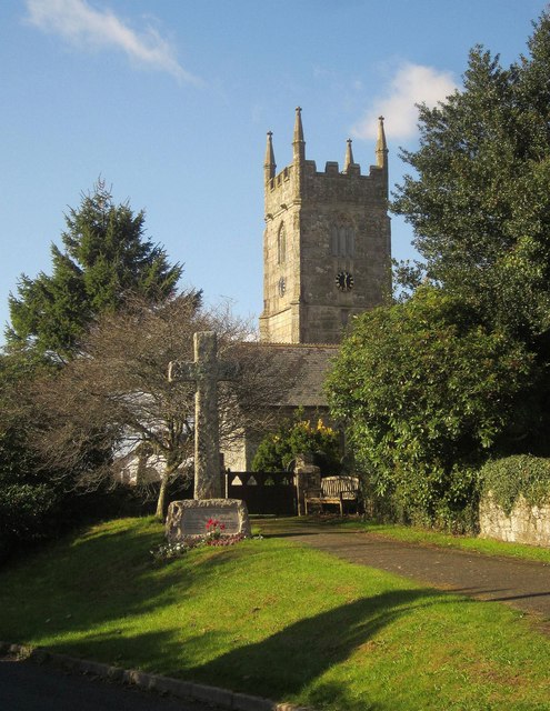
Image: © Derek Harper Taken: 5 Nov 2014
A similar view to Image, with a path leading to the churchyard past the war memorial. The grade I listed church is described at http://list.english-heritage.org.uk/resultsingle.aspx?uid=1140815&searchtype=mapsearch .
Images are licensed for reuse under creativecommons.org/licenses/by-sa/2.0
Image Location
Latitude
50.46775
Longitude
-4.272242