Site of Margate Caves
Introduction
The photograph on this page of Site of Margate Caves by Clint Mann as part of the Geograph project.
The Geograph project started in 2005 with the aim of publishing, organising and preserving representative images for every square kilometre of Great Britain, Ireland and the Isle of Man.

There are currently over 7.5m images from over 14,400 individuals and you can help contribute to the project by visiting https://www.geograph.org.uk
Site of Margate Caves
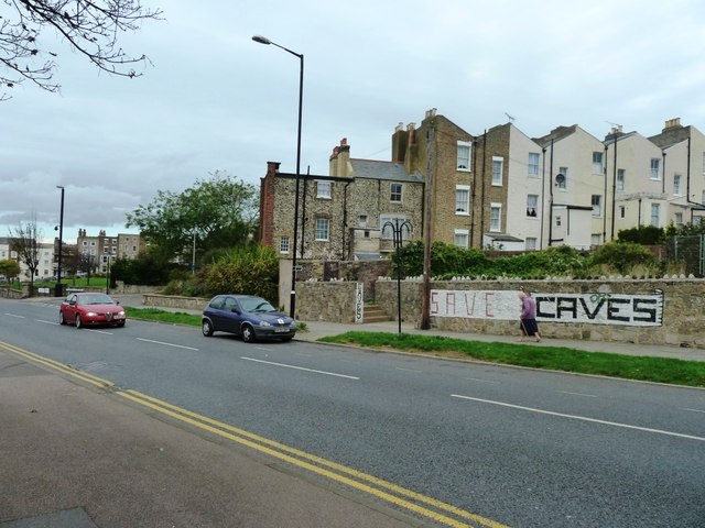
Image: © Clint Mann Taken: 1 Nov 2014
Taken on the B2055 where Northdown Road meets Trinity Square. Trinity Memorial Gardens visible in background on left.
Images are licensed for reuse under creativecommons.org/licenses/by-sa/2.0
Image Location
Latitude
51.389958
Longitude
1.386426