Field above the bridleway
Introduction
The photograph on this page of Field above the bridleway by Bill Boaden as part of the Geograph project.
The Geograph project started in 2005 with the aim of publishing, organising and preserving representative images for every square kilometre of Great Britain, Ireland and the Isle of Man.

There are currently over 7.5m images from over 14,400 individuals and you can help contribute to the project by visiting https://www.geograph.org.uk
Field above the bridleway
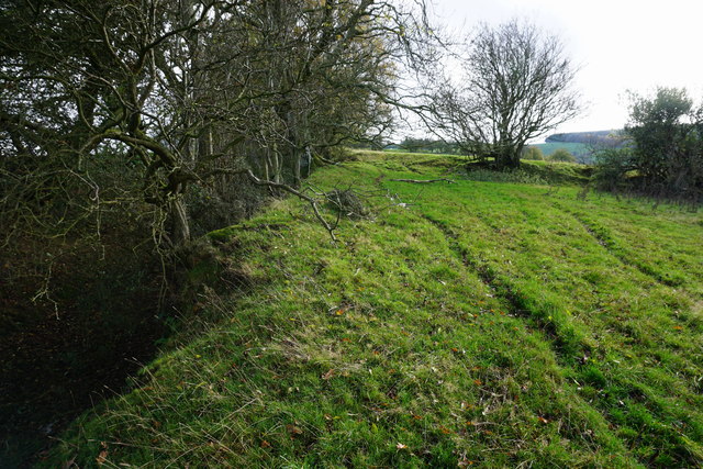
Image: © Bill Boaden Taken: 30 Oct 2014
The bridleway is deep down in the dark area to the left. You have to climb out to get views of the valley.
Images are licensed for reuse under creativecommons.org/licenses/by-sa/2.0
Image Location
Latitude
52.483069
Longitude
-3.238511