Timline Green
Introduction
The photograph on this page of Timline Green by Alan Hunt as part of the Geograph project.
The Geograph project started in 2005 with the aim of publishing, organising and preserving representative images for every square kilometre of Great Britain, Ireland and the Isle of Man.

There are currently over 7.5m images from over 14,400 individuals and you can help contribute to the project by visiting https://www.geograph.org.uk
Timline Green
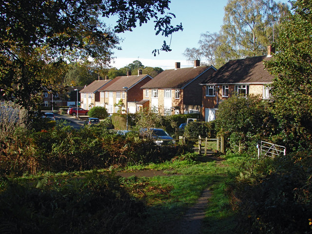
Image: © Alan Hunt Taken: 4 Nov 2014
The path descending down the slope around the former landfill site of Longhill Park with the houses along Timline Green in the background.
Images are licensed for reuse under creativecommons.org/licenses/by-sa/2.0
Image Location
Latitude
51.417264
Longitude
-0.720959