No through road, Viverdon Down
Introduction
The photograph on this page of No through road, Viverdon Down by Derek Harper as part of the Geograph project.
The Geograph project started in 2005 with the aim of publishing, organising and preserving representative images for every square kilometre of Great Britain, Ireland and the Isle of Man.

There are currently over 7.5m images from over 14,400 individuals and you can help contribute to the project by visiting https://www.geograph.org.uk
No through road, Viverdon Down
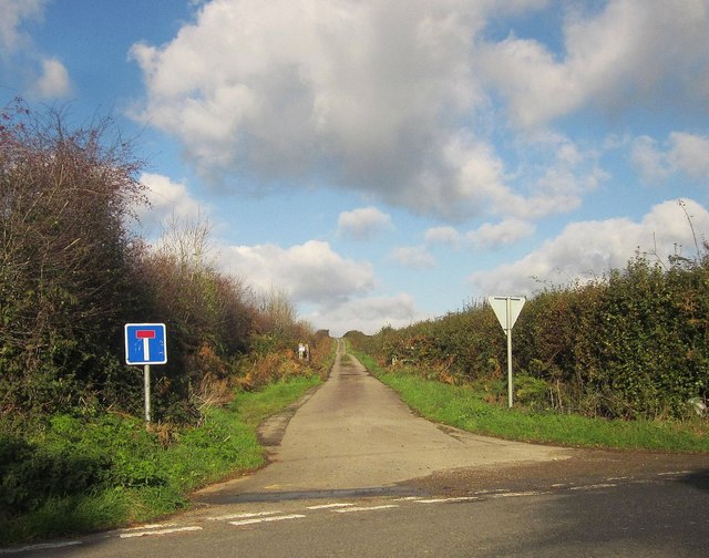
Image: © Derek Harper Taken: 5 Nov 2014
Used by bridleway 631 3/1, which comes to an abrupt halt when the lane meets the A388, which has truncated it - though you can get through onto the main road on foot.
Images are licensed for reuse under creativecommons.org/licenses/by-sa/2.0
Image Location


Leaflet Map data © OpenStreetMap
Latitude
50.47707
Longitude
-4.28777