Eaton Place
Introduction
The photograph on this page of Eaton Place by John Baker as part of the Geograph project.
The Geograph project started in 2005 with the aim of publishing, organising and preserving representative images for every square kilometre of Great Britain, Ireland and the Isle of Man.

There are currently over 7.5m images from over 14,400 individuals and you can help contribute to the project by visiting https://www.geograph.org.uk
Eaton Place
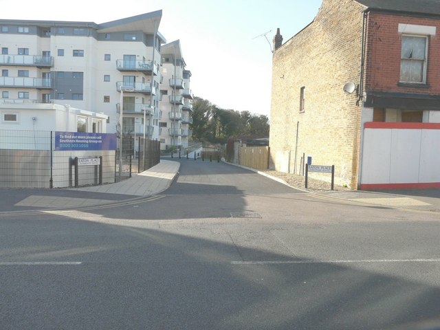
Image: © John Baker Taken: 27 Oct 2014
This is the name of a cul-de-sac that has been constructed, off Eaton Road, to serve a new development of two blocks of flats known as Weymouth House and Stratford House (which is situated beyond Weymouth House).
Images are licensed for reuse under creativecommons.org/licenses/by-sa/2.0
Image Location
Latitude
51.383841
Longitude
1.380224