OS rivet & benchmark - The Rock, beside B4373
Introduction
The photograph on this page of OS rivet & benchmark - The Rock, beside B4373 by Richard Law as part of the Geograph project.
The Geograph project started in 2005 with the aim of publishing, organising and preserving representative images for every square kilometre of Great Britain, Ireland and the Isle of Man.

There are currently over 7.5m images from over 14,400 individuals and you can help contribute to the project by visiting https://www.geograph.org.uk
OS rivet & benchmark - The Rock, beside B4373
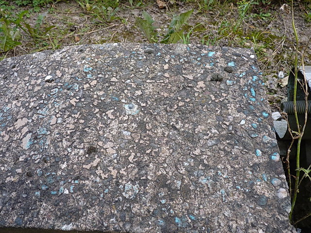
Image: © Richard Law Taken: 14 Sep 2014
OS rivet & cutmark on the concrete crash barrier associated with a footbridge over Old Park Way; originally levelled in 1984 at 179.029m above Ordnance Datum Newlyn.
Images are licensed for reuse under creativecommons.org/licenses/by-sa/2.0
Image Location
Latitude
52.680383
Longitude
-2.46537