Romiley Junction signal box
Introduction
The photograph on this page of Romiley Junction signal box by Richard Vince as part of the Geograph project.
The Geograph project started in 2005 with the aim of publishing, organising and preserving representative images for every square kilometre of Great Britain, Ireland and the Isle of Man.

There are currently over 7.5m images from over 14,400 individuals and you can help contribute to the project by visiting https://www.geograph.org.uk
Romiley Junction signal box
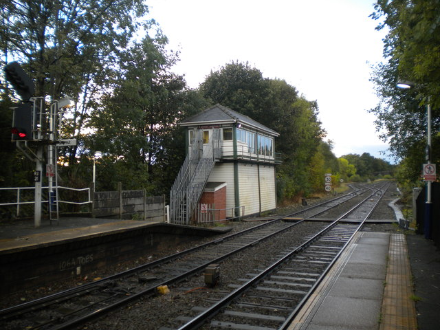
Image: © Richard Vince Taken: 8 Oct 2014
Seen from the west end of Romiley station. The junction itself is visible just beyond the 'box, with the direct line to Manchester diverging to the left from the line through Hyde Central. The 'box appears to have an early British Railways London Midland Region name plate.
Images are licensed for reuse under creativecommons.org/licenses/by-sa/2.0
Image Location
Latitude
53.414153
Longitude
-2.090229