Farm buildings at Laployd Barton
Introduction
The photograph on this page of Farm buildings at Laployd Barton by David Smith as part of the Geograph project.
The Geograph project started in 2005 with the aim of publishing, organising and preserving representative images for every square kilometre of Great Britain, Ireland and the Isle of Man.

There are currently over 7.5m images from over 14,400 individuals and you can help contribute to the project by visiting https://www.geograph.org.uk
Farm buildings at Laployd Barton
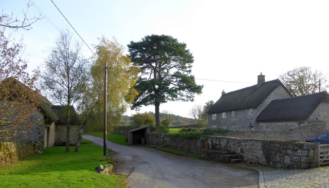
Image: © David Smith Taken: 31 Oct 2014
Buildings using Dartmoor granite; listed grade II* and described as: a superior mid 17th century house of three ranges around a narrow courtyard.
Images are licensed for reuse under creativecommons.org/licenses/by-sa/2.0
Image Location
Latitude
50.660302
Longitude
-3.697863