Woodmancote, Dursley
Introduction
The photograph on this page of Woodmancote, Dursley by Derek Harper as part of the Geograph project.
The Geograph project started in 2005 with the aim of publishing, organising and preserving representative images for every square kilometre of Great Britain, Ireland and the Isle of Man.

There are currently over 7.5m images from over 14,400 individuals and you can help contribute to the project by visiting https://www.geograph.org.uk
Woodmancote, Dursley
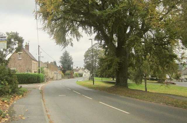
Image: © Derek Harper Taken: 27 Oct 2014
This is the A4136, with a small park on the right, by the junction with a road to Cambridge Avenue. The left turn is Hermitage Drive.
Images are licensed for reuse under creativecommons.org/licenses/by-sa/2.0
Image Location
Latitude
51.674847
Longitude
-2.349922