Twinberrow Woods
Introduction
The photograph on this page of Twinberrow Woods by Derek Harper as part of the Geograph project.
The Geograph project started in 2005 with the aim of publishing, organising and preserving representative images for every square kilometre of Great Britain, Ireland and the Isle of Man.

There are currently over 7.5m images from over 14,400 individuals and you can help contribute to the project by visiting https://www.geograph.org.uk
Twinberrow Woods
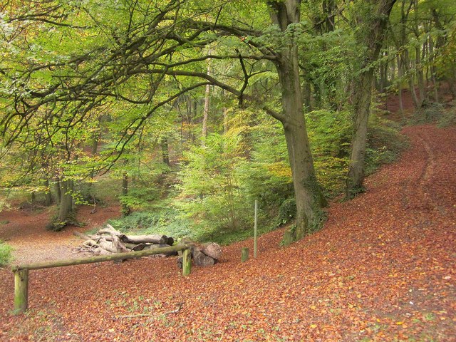
Image: © Derek Harper Taken: 27 Oct 2014
From bridleway CDU 73/1, looking along bridleway CDU 70/3, which is shown as coming to a halt after less than 200 metres near an old pit.
Images are licensed for reuse under creativecommons.org/licenses/by-sa/2.0
Image Location
Latitude
51.670805
Longitude
-2.34859