Cottar House at Kiplaw Farm
Introduction
The photograph on this page of Cottar House at Kiplaw Farm by Ken Fitlike as part of the Geograph project.
The Geograph project started in 2005 with the aim of publishing, organising and preserving representative images for every square kilometre of Great Britain, Ireland and the Isle of Man.

There are currently over 7.5m images from over 14,400 individuals and you can help contribute to the project by visiting https://www.geograph.org.uk
Cottar House at Kiplaw Farm
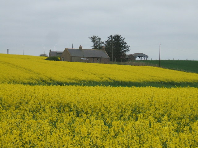
Image: © Ken Fitlike Taken: 4 May 2007
Set amongst the garish oilseed rape fields
Images are licensed for reuse under creativecommons.org/licenses/by-sa/2.0
Image Location
Latitude
57.402395
Longitude
-1.906628