A382; the end of the by-pass of Bovey Tracey
Introduction
The photograph on this page of A382; the end of the by-pass of Bovey Tracey by David Smith as part of the Geograph project.
The Geograph project started in 2005 with the aim of publishing, organising and preserving representative images for every square kilometre of Great Britain, Ireland and the Isle of Man.

There are currently over 7.5m images from over 14,400 individuals and you can help contribute to the project by visiting https://www.geograph.org.uk
A382; the end of the by-pass of Bovey Tracey
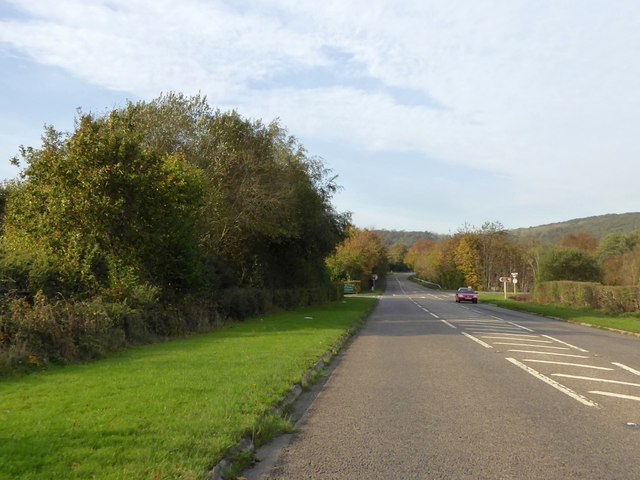
Image: © David Smith Taken: 31 Oct 2014
At the junction ahead, the road on the right leads from the former main road to Moretonhampstead and former route of the A382. The road is a slip road, so that the junction is at right angles to the new road, and about 200 metres of the old route is now disused and closed off
Images are licensed for reuse under creativecommons.org/licenses/by-sa/2.0
Image Location
Latitude
50.600535
Longitude
-3.682711