Farmland View From Pen Pant-y-sais
Introduction
The photograph on this page of Farmland View From Pen Pant-y-sais by Adrian Dust as part of the Geograph project.
The Geograph project started in 2005 with the aim of publishing, organising and preserving representative images for every square kilometre of Great Britain, Ireland and the Isle of Man.

There are currently over 7.5m images from over 14,400 individuals and you can help contribute to the project by visiting https://www.geograph.org.uk
Farmland View From Pen Pant-y-sais
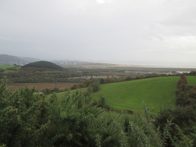
Image: © Adrian Dust Taken: 2 Nov 2014
Taken from almost the top of the hill at 106m.
Images are licensed for reuse under creativecommons.org/licenses/by-sa/2.0
Image Location


Leaflet Map data © OpenStreetMap
Latitude
51.633427
Longitude
-3.863291