A290 near Red Lion House
Introduction
The photograph on this page of A290 near Red Lion House by Thomas Grant as part of the Geograph project.
The Geograph project started in 2005 with the aim of publishing, organising and preserving representative images for every square kilometre of Great Britain, Ireland and the Isle of Man.

There are currently over 7.5m images from over 14,400 individuals and you can help contribute to the project by visiting https://www.geograph.org.uk
A290 near Red Lion House
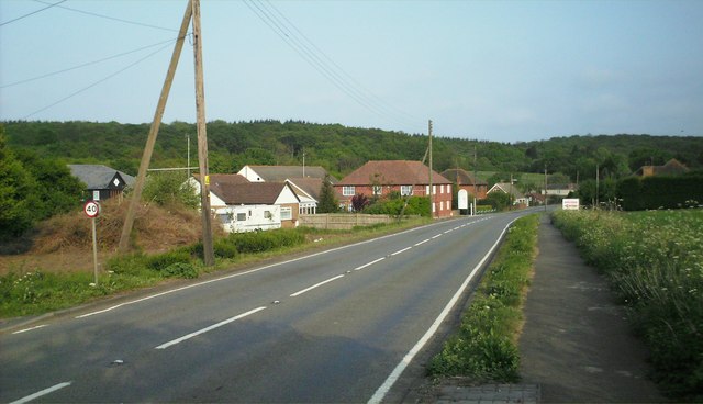
Image: © Thomas Grant Taken: 4 May 2007
This strange collection of buildings is typical of the development strung out along the main road between Canterbury and Whitstable. The sign is pointing to a small business park where a number of local firms are based.
Images are licensed for reuse under creativecommons.org/licenses/by-sa/2.0
Image Location
Latitude
51.320464
Longitude
1.030758