Former chapel, Lee Gate
Introduction
The photograph on this page of Former chapel, Lee Gate by Bikeboy as part of the Geograph project.
The Geograph project started in 2005 with the aim of publishing, organising and preserving representative images for every square kilometre of Great Britain, Ireland and the Isle of Man.

There are currently over 7.5m images from over 14,400 individuals and you can help contribute to the project by visiting https://www.geograph.org.uk
Former chapel, Lee Gate
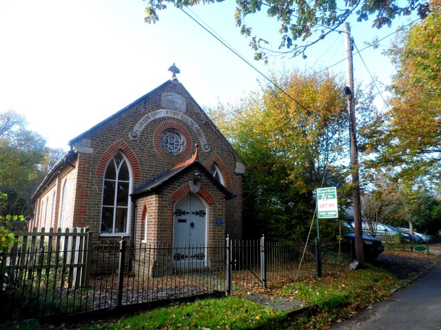
Image: © Bikeboy Taken: 1 Nov 2014
Still marked as a chapel on the O.S. map but now a private dwelling. The plaque on the gable reads "Emmanuel Hall, 1883". See http://www.geograph.org.uk/photo/4230135 for a close up.
Images are licensed for reuse under creativecommons.org/licenses/by-sa/2.0
Image Location
Latitude
51.7393
Longitude
-0.699866