Byway above Brockhampton
Introduction
The photograph on this page of Byway above Brockhampton by Derek Harper as part of the Geograph project.
The Geograph project started in 2005 with the aim of publishing, organising and preserving representative images for every square kilometre of Great Britain, Ireland and the Isle of Man.

There are currently over 7.5m images from over 14,400 individuals and you can help contribute to the project by visiting https://www.geograph.org.uk
Byway above Brockhampton
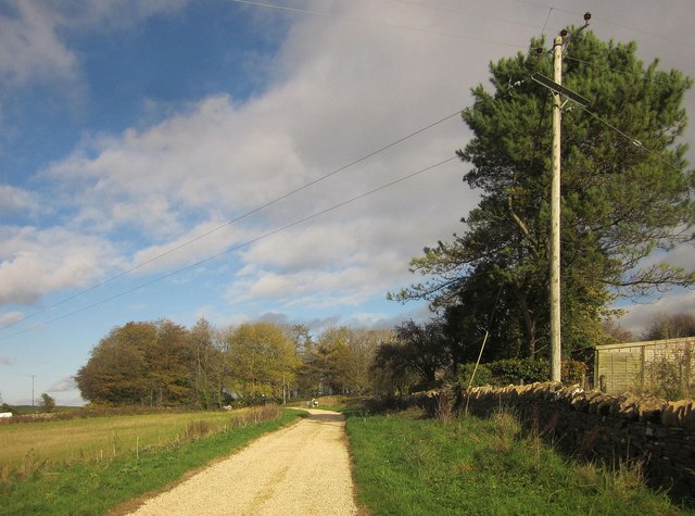
Image: © Derek Harper Taken: 25 Oct 2014
Restricted byway KSE 9/1 looking in the other direction to Image
Images are licensed for reuse under creativecommons.org/licenses/by-sa/2.0
Image Location


Leaflet Map data © OpenStreetMap
Latitude
51.895631
Longitude
-1.934558