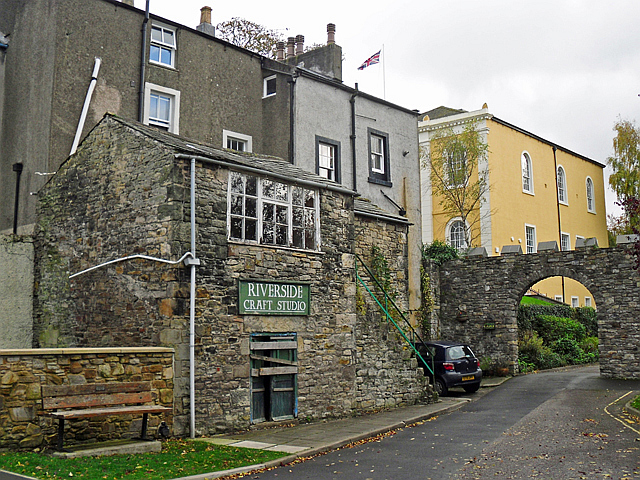
The Old Armoury - view towards the Town Hall
Introduction
The photograph on this page of The Old Armoury - view towards the Town Hall by Rose and Trev Clough as part of the Geograph project.
The Geograph project started in 2005 with the aim of publishing, organising and preserving representative images for every square kilometre of Great Britain, Ireland and the Isle of Man.
There are currently over 7.5m images from over 14,400 individuals and you can help contribute to the project by visiting https://www.geograph.org.uk

Image: © Rose and Trev Clough Taken: 25 Oct 2014
Located on the access road for Riverside car park, behind houses in Market Street. During the 19th century this was an armoury belonging to the Cockermouth contingent of the Westmorland and Cumberland Yeomanry. The men drilled on land now occupied by Image . Information from Bradbury's History of Cockermouth http://www.amazon.co.uk/Bradburys-History-Cockermouth-J-Bernard-Bradbury/dp/0952981203 . In the later 20th century, the Tourist Information Centre was in this building. The sign indicates its most recent use as a craft studio, but it appears to be currently disused. Another view here Image .

