Ivanhoe Way
Introduction
The photograph on this page of Ivanhoe Way by Ian Calderwood as part of the Geograph project.
The Geograph project started in 2005 with the aim of publishing, organising and preserving representative images for every square kilometre of Great Britain, Ireland and the Isle of Man.

There are currently over 7.5m images from over 14,400 individuals and you can help contribute to the project by visiting https://www.geograph.org.uk
Ivanhoe Way
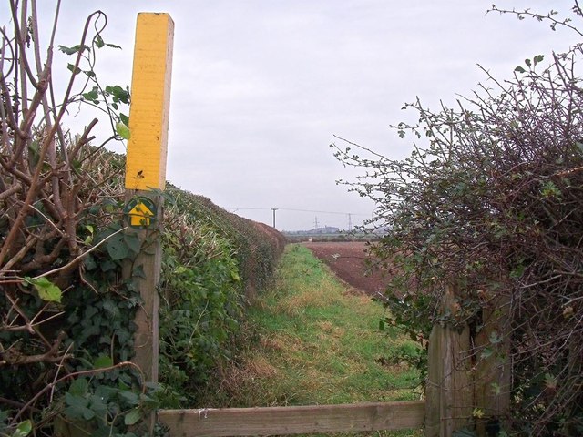
Image: © Ian Calderwood Taken: 31 Oct 2014
The Ivanhow Way is a 36 mile circular walk in Leicestershire which skirts around Newbold on its way North towards Worthington. The church at Breedon on the Hill is visible in the distance.
Images are licensed for reuse under creativecommons.org/licenses/by-sa/2.0
Image Location
Latitude
52.768523
Longitude
-1.40088